Big Data has become one of the most important forces shaping modern land surveying and civil infrastructure. What was once a profession built primarily on localized measurements and manual calculations now relies on vast amounts of geospatial data to plan, analyze, and design projects with greater accuracy and efficiency than ever before.
For today’s surveyors, understanding how Big Data is used is no longer optional; it’s part of working in a data-driven industry.
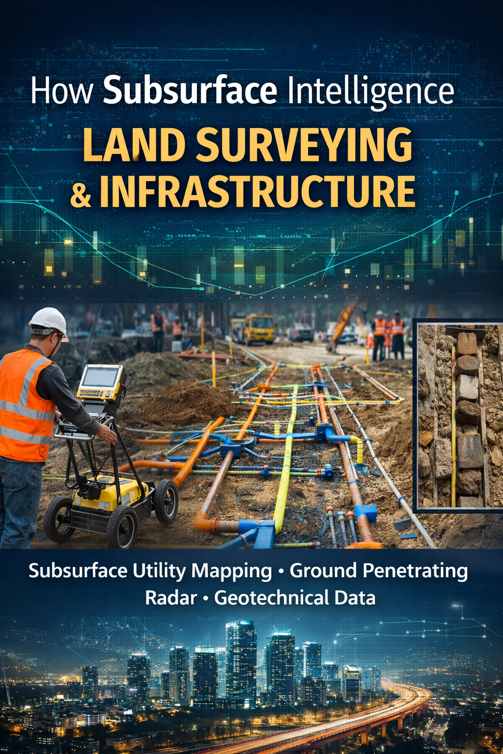
What “Big Data” Means in Land Surveying
In surveying, Big Data refers to large, complex datasets collected from multiple sources that describe the physical world. These datasets are often too large or detailed to be processed using traditional methods alone.
Common sources of Big Data in surveying include:
-
Satellite imagery
-
Aerial photogrammetry
-
LiDAR point clouds
-
Geographic Information Systems (GIS)
-
Historical survey records
-
Environmental and terrain databases
-
Infrastructure and utility datasets
When combined, these data sources allow surveyors to view land and infrastructure at a regional or even national scale while still maintaining precise local detail.
How Big Data Is Applied in Surveying Projects
1. Enhanced Data Collection
Modern surveying tools collect significantly more information than traditional methods. LiDAR scans, for example, can generate millions of elevation points in a single survey, capturing terrain, vegetation, and structures simultaneously.
This depth of data allows surveyors to:
-
Reduce repeat field visits
-
Identify features that might otherwise be missed
-
Work more efficiently in challenging or inaccessible areas
2. Improved Accuracy and Quality Control
Big Data allows surveyors to cross-reference multiple datasets, improving accuracy and reliability. Elevation models can be compared against historical data, satellite imagery can confirm field observations, and inconsistencies can be flagged earlier in a project.
This leads to:
-
Fewer errors in design
-
Better boundary and terrain analysis
-
Stronger documentation for engineering and legal purposes
3. Predictive Analysis and Planning
One of the most powerful advantages of Big Data is its role in predictive decision-making. By analyzing patterns from past and existing data, surveyors and engineers can anticipate potential challenges before construction begins.
Examples include:
-
Identifying flood-prone areas using elevation and hydrologic data
-
Forecasting soil stability issues
-
Evaluating long-term infrastructure impacts based on land use trends
This proactive approach reduces risk, saves costs, and improves project outcomes.
Big Data in Infrastructure Development
Large-scale infrastructure projects, such as highways, bridges, rail systems, and utility networks, depend heavily on Big Data-driven surveying.
Surveyors use large datasets to:
-
Optimize route selection
-
Minimize environmental impact
-
Coordinate with engineers, planners, and contractors
-
Ensure designs comply with regulatory and safety standards
By working with comprehensive datasets, surveyors help ensure that infrastructure projects are not only accurate but also sustainable and resilient over time.
Why Data-Driven Decision Making Matters
Big Data shifts surveying from a reactive process to a strategic, analytical role. Instead of responding to issues after they arise, surveyors can use data to guide decisions from the earliest planning stages.
Key benefits include:
-
Increased efficiency
-
Reduced project delays
-
Improved collaboration across disciplines
-
Better long-term performance of infrastructure
For surveyors, this means greater responsibility, but also greater professional value.
What This Means for Future Surveyors
As Big Data continues to influence surveying, future professionals must be comfortable working with:
-
Advanced software platforms
-
Large datasets
-
Analytical and problem-solving workflows
-
Interdisciplinary project teams
Licensure exams such as the FS and PS increasingly reflect this shift by emphasizing data interpretation, spatial analysis, and modern surveying technologies.
Final Thoughts
Big Data is not replacing traditional surveying principles; it’s enhancing them. The fundamentals of accuracy, ethics, and responsibility remain the same, but the tools and scale have evolved.
Surveyors who understand how to leverage Big Data are better equipped to:
-
Design smarter infrastructure
-
Reduce risk
-
Deliver higher-quality results
-
Lead in an increasingly data-driven industry
For those preparing for a career in surveying, developing these skills now is an investment in long-term success.
Watch the Full Video & Learn More
Want to see how Big Data is actively reshaping land surveying and infrastructure development? Watch the full video breakdown here:
Watch on YouTube:
https://youtu.be/zkDi8lJVJ2M
If you’re preparing for the FS or PS exam and want structured, exam-focused guidance on modern surveying concepts, visit NLC Prep to explore study resources, practice tools, and exam preparation programs:
Learn more at:
https://www.nlcprep.com
Start preparing with confidence, explore NLC Prep resources today